Khyber Pakhtunkhwa (abbreviated as KP or KPK) is one of the four administrative provinces of Pakistan, located in the northwestern region of the country along the international border with Afghanistan. It was previously known as the North-West Frontier Province (NWFP) until 2010, and is known colloquially by various other names. Khyber Pakhtunkhwa is the third-largest province of Pakistan by the size of both population and economy, though it is geographically the smallest of five.
 Within Pakistan, Khyber Pakhtunkhwa shares a border with Punjab, Balochistan, Azad Kashmir, Gilgit-Baltistan, and Islamabad. It comprises 10.5% of Pakistan’s economy, and is home to 11.9% of Pakistan’s total population, with the majority of the province’s inhabitants being Pashtuns.
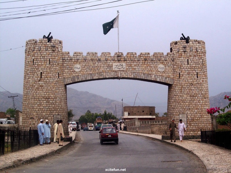
The province is the site of the ancient kingdom Gandhara, including the ruins of its capital Pushkalavati near modern-day Charsadda. Originally a stronghold of Buddhism, the history of the region was characterized by frequent invasions under various Empires due to its geographical proximity to the Khyber Pass.
On 24 May 2018, the National Assembly of Pakistan voted in favour of an amendment to the Constitution of Pakistan to merge the Federally Administered Tribal Areas with Khyber Pakhtunkhwa province. The Khyber Pakhtunkhwa Assembly then approved the historic FATA-KP merger bill on 28 May 2018 making FATA officially part of Khyber Pakhtunkhwa, which was then signed by President Mamnoon Hussain that completes the process of this historic merger.
Climate
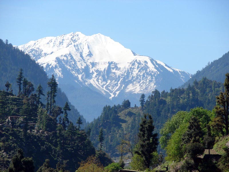
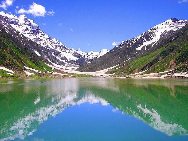
 The climate of Khyber Pakhtunkhwa varies immensely for a region of its size, encompassing most of the many climate types found in Pakistan. The province stretching southwards from the Baroghil Pass in the Hindu Kush covers almost six degrees of latitude; it is mainly a mountainous region. Dera Ismail Khan is one of the hottest places in South Asia while in the mountains to the north the weather is mild in the summer and intensely cold in the winter. The air is generally very dry; consequently, the daily and annual range of temperature is quite large.
Rainfall also varies widely. Although large parts of Khyber Pakhtunkhwa are typically dry, the province also contains the wettest parts of Pakistan in its eastern fringe especially in monsoon season from mid June to mid September.
Languages
 Urdu, being the national and official language, serves as a lingua franca for inter-ethnic communications, and sometime Pashto and Urdu are the second and third languages among communities which speak other ethnic languages.[3] Pashto is spoken more than three-fourth of the population after Fata merger. English is co-official and also used in education, while Arabic is used for religious purposes and education. In 2011 the provincial government approved in principle the introduction of the five regional languages of Pashto, Hindko, Saraiki, Khowar and Kohistani as compulsory subjects for the schools in the areas where they are spoken. There is some population in Peshawar city who speak Persian since nineteenth century; this population saw an increase during 1980s and 1990s due to migration from Afghanistan. The table below shows the break-up of the province’s first-language speakers.
Religion
The majority of the residents of the Khyber-Pakhtunkhwa overwhelmingly follows and professes the Sunni principles of Islam while the small followers of Shia principles of Islam are found among in the Isma’ilis in the Chitral district. The tribe of Kalasha in southern Chitral still retains their ancient Greco Animist/Shamanist religion. There are very small numbers of residents are the adherents of Roman Catholicism sect of Christianity, Hinduism and the Sikhism.
(Courtesy: wikipedia.org)